Mondo Knows Facts
The Canada-US border is the longest international land boundary
Stretching 8,891 kilometres, the border separates Canada and the United States across continental North America.
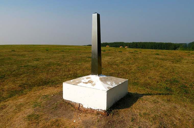
The border includes a 2,475-kilometre section separating Alaska from northwestern Canada. Established through various international treaties between 1783 and 1908, the line passes through land, lakes, and rivers. A six-metre cleared forest vista is maintained along its land sections to mark the boundary clearly.
Where this comes from
Facts that can change over time are reviewed and updated. If something here looks wrong, Mondo would rather know than be confidently incorrect.
Go further
More facts like this
The Four Corners Monument marks where four US states meet at one pointArizona, Colorado, New Mexico, and Utah intersect at a single geographical point in the Southwest.Lake Superior is the largest freshwater lake by surface areaCovering roughly 82,100 square kilometres, Lake Superior borders Canada and the United States.Niagara Falls carries more water volume than any North American fallStraddling the US-Canada border, Niagara Falls discharges over 2,800 cubic metres of water per second.Canada has the longest total coastline of any nationCanada boasts a total coastline exceeding 202,000 kilometres including its thousands of Arctic islands.Point Roberts is a US land exclave reachable only through CanadaSituated at the tip of the Tsawwassen Peninsula, Point Roberts is cut off from the US mainland by the 49th parallel.The Mississippi River drains forty per cent of the continental USFlowing 3,730 kilometres from Minnesota to the Gulf of Mexico, the Mississippi forms a major river basin.
Tags: canada, united states, borders, geography
The Canada-US border is the longest international land boundary: the short answers
- Where does this come from, and can I check it?
- Stretching 8,891 kilometres, the border separates Canada and the United States across continental North America. The figure is taken from CIA World Factbook, which is linked in full on this page. Every fact on Mondo Knows names its source rather than repeating an unsourced claim.
- Is this really a world geography fact?
- Yes. It sits on the World Geography shelf, one of 1,090 sourced facts grouped into space, animals, the human body, history, science and more. Category pages collect every fact in the same field.
- What else can I read about it?
- The links under the fact point to a quiz, game, puzzle or calculator on the same subject, and the shelf below shows related facts. The wording here is original, and quoted phrases are marked as quotations.